

Matthew T
iD Mobile Employee
iD Mobile Employee
July 16, 2025
Blog

Win a Garmin watch with our top hiking app tips.

  • July 16, 2025
  • 505 replies
  • 35742 views
Win a Garmin watch with our top hiking app tips.

With the sun shining, there’s no better time to head out into nature and explore the UK's breathtaking trails. But there’s no need to stuff your backpack with massive OS (Ordnance Survey) maps. The most powerful navigation tool you own is already in your pocket!

Forget the old-school maps and pricey GPS devices. Today’s smartphones, with the right apps, can be your guide, safety net, and personal trainer all rolled into one. We’ve rounded up the essential apps that turn your phone into the ultimate hiking companion. Plus, to help you get kitted out for your next trek, we're giving one lucky reader the chance to win a Garmin Venu 3s!

Whether you're strolling through the Yorkshire Dales or summiting in Snowdonia, your trusty mobile will help you uncover new routes, stay safe, and track every step.


Your guide to navigation apps.
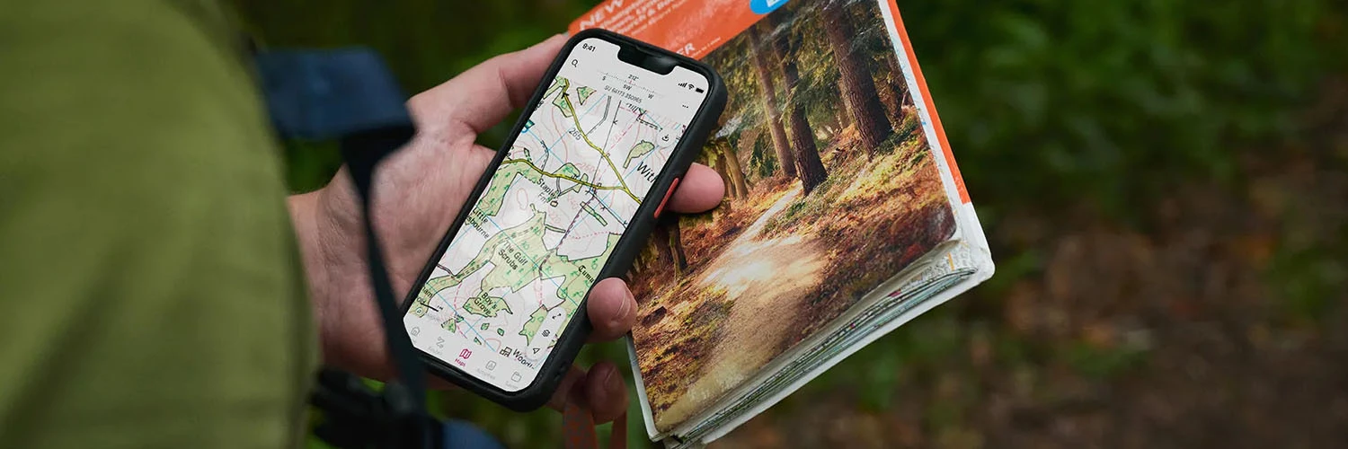


Different apps shine in different areas. Here’s our breakdown of the best navigation tools for UK walkers:

  • OS Maps: This one’s the gold standard. It taps into the official, highly detailed Ordnance Survey maps trusted by hikers for generations. If precision and reliability are non-negotiable for you, OS Maps is your go-to. But if you’re going for a stroll around the local common, it’s probably overkill.
  • AllTrails: Think of it as social media meets hiking. With thousands of user-submitted trails, reviews and photos, it’s perfect for discovering walks nearby - including hidden gems you won’t find on a printed map. When it comes to finding great walking routes, you can’t beat local knowledge!
  • Komoot: Planning something longer or more adventurous? Komoot offers turn-by-turn voice navigation, making it feel like a sat-nav for footpaths. It’s brilliant for hikes, bike rides or weekend treks into the unknown.


The most important app for your safety: What3Words.
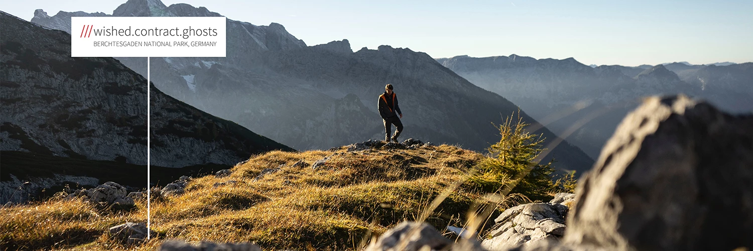


If you take one safety app with you, make it What3Words.

This ingenious tool divides the world into tiny 3-metre squares and gives each one a unique three-word address. If you ever get lost, injured or stuck in a remote spot, you can use the app to share your location with emergency services - down to the exact metre. Fast, simple, potentially lifesaving.


The Golden Rule: Always download offline maps.



You can’t rely on mobile signal in the hills, valleys and remote paths of the UK. That’s why downloading your maps before you go is absolutely essential. That way, you’ll always have some means of finding your way if your mobile signal gives up on you.

Apps like OS Maps, AllTrails, and Komoot let you save your route directly to your device. Offline access not only gives you peace of mind, but it's also a smart move for your mobile plan. It saves your data and extends your battery life by avoiding the constant search for a signal.


Track your trek with a smartwatch.



Want to know how far you've walked, how high you've climbed or even how many calories you’ve burned? Pairing your phone with a fitness tracker can turn an everyday walk into a full-on wellness activity.

Wearables like the Apple Watch, Samsung Galaxy Watch or Fitbit sync with hiking apps and give you real-time updates on distance, elevation gain, heart rate and steps.

Looking for a great deal on wearables? Check out the latest smartwatches at Currys.


Giveaway time!


With a few key apps - like OS Maps for navigation, What3Words for safety and the golden rule of downloading offline maps - your phone becomes the only gadget you’ll need for a successful day out on the trail.

So go on: download the apps, choose your route and set off on your next adventure. Happy trails! 

To enter our Garmin Venu 3s giveaway, let us know in the comments below: What's your favourite hike or walk? We'd love to see your adventures, so feel free to share your photos!

The competition closes on Monday, 18th August 2025 at 23:59. The winner will be picked at random, so keep an eye on your inbox or DMs for a message from us.

Happy trails!

    This topic has been closed for replies.

    505 replies

    New Contributor
    August 6, 2025

    Living in SE Cornwall, there are so many walks that I can do. I’m a regular walker and try to get out on more challenging hikes a couple of times each month. I mainly walk the SW Coast Path, but there is the occasional visit to Bodmin Moor and Dartmoor. 

    I’m an avid fan of OS Maps. I use the web version to plot my walks that I can then download onto my phone for the outing. I also have WhatThreeWords - just in case. OS Maps also have the OS Locate app, which provides map coordinates. You can never be too safe! 

    One of my favourite walks starts at Lansallos on the south coast of Cornwall. There is a National Trust car park, and they also have a campsite over the road. I do a figure-of-eight walk around this point.

    First, I head east along the roads and lanes to the beautiful little village of Polperro. With its quaint cottages on the hill adorned with Cornish slate and ripple-effect plaster, plus its fishing harbour, it conjures up the best of Cornish life and scenery.

    From Polperro, I walk up the steep hill and then head west along the SW Coast Path.. There are many ups and downs along the way. I coined the saying, ‘what goes down, must come back up again’. Well, that’s my take on it. 

    The vistas that are presented along the coast path are stunning. From waves crashing onto craggy rocks below, to the array of sea colours in the bays of white sandy beaches. There are breath-taking scenes not to be missed, so out with the camera.

    I walk past Lansallos and stick to the coast path to Lantic Bay and then onto yet another gorgeous Cornish village, Polruan. The coast path merges into the top of the village, and there are steep lanes down to the River Fowey below. There’s a lovely little pub and cafes on the waterfront with places to sit outside. Across the river is Fowey.

    The walk back out of the village is pretty steep. It emerges onto a woodland walk, high up and eastwards along the river. Eventually, the path turns onto lanes and then a road back to Lansallos. 

    It’s a full-day 13-mile walk, but it can be done in two halves, which opens up opportunities to spend a bit more time investigating Polperro or Polruan.


    New Contributor
    August 6, 2025

    Thursley Common and Ash Ranges are beautiful and great for dogs too 🐕

    Active Contributor
    August 6, 2025

    I walked around 1000 miles in 3 years, my favourite being the whole of the Essex coastline, from Rainham to Manningtree - about 350 miles

    New Contributor
    August 6, 2025

    Moel Famau (Mother Mountain) in the Clywidian range is my favourite hike, amazing views all round.

    Active Contributor
    August 6, 2025

    Out the door up the hill past the Fort, across the common through orchids and skylarks then down to the canal and the brewery

    Active Contributor
    August 6, 2025

    Hyde Park

    New Contributor
    August 6, 2025

    Watersmeet to Lynmouth.

    New Contributor
    August 6, 2025

    There's an absolutely stunning walk across the island of Rum, starting out from Kinloch where the ferry arrives and heading up and over towards Dibdil.  The walk can be challenging at times, across some small, easy to traverse rivers (except when they are in spate), but the views are exceptional, particularly of the open sea and the island of Eigg. Arriving in Dibdil, there a small bothy providing shelter and again fantastic views of Eigg.

    Active Contributor
    August 6, 2025

    If you want to mix a bit of art with a walk the Yorkshire sculpture park is a great place to go.

    New Contributor
    August 6, 2025

    My favourite is the Thames Path through Oxford, ending at Proof Social Bakery for a wee pastry and coffee