

Matthew T
iD Mobile Employee
iD Mobile Employee
July 16, 2025
Blog

Win a Garmin watch with our top hiking app tips.
  • July 16, 2025
  • 505 replies
  • 35742 views
Win a Garmin watch with our top hiking app tips.

With the sun shining, there’s no better time to head out into nature and explore the UK's breathtaking trails. But there’s no need to stuff your backpack with massive OS (Ordnance Survey) maps. The most powerful navigation tool you own is already in your pocket!

Forget the old-school maps and pricey GPS devices. Today’s smartphones, with the right apps, can be your guide, safety net, and personal trainer all rolled into one. We’ve rounded up the essential apps that turn your phone into the ultimate hiking companion. Plus, to help you get kitted out for your next trek, we're giving one lucky reader the chance to win a Garmin Venu 3s!

Whether you're strolling through the Yorkshire Dales or summiting in Snowdonia, your trusty mobile will help you uncover new routes, stay safe, and track every step.


Your guide to navigation apps.
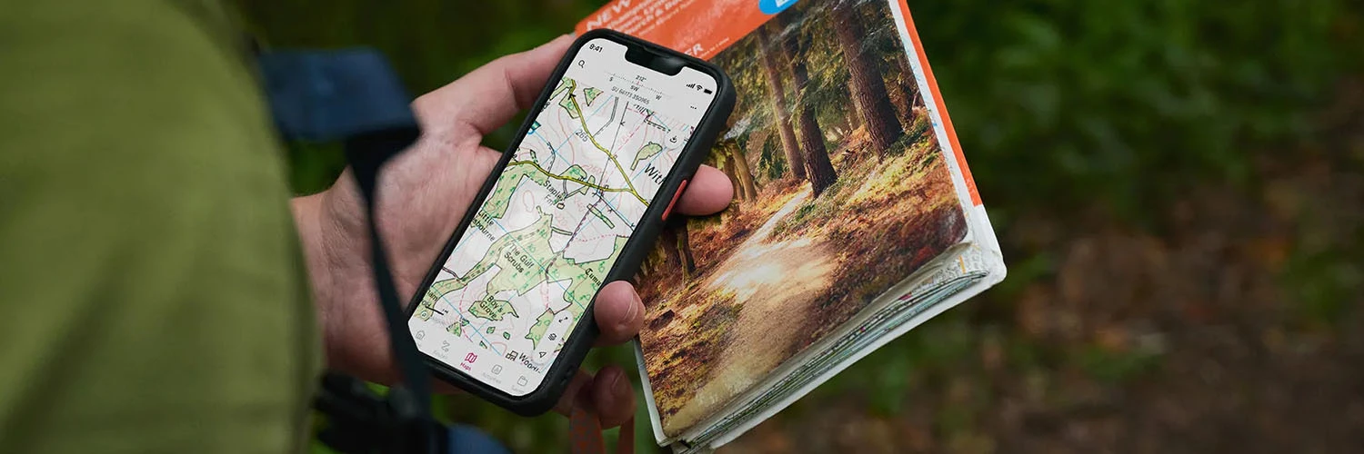


Different apps shine in different areas. Here’s our breakdown of the best navigation tools for UK walkers:

  • OS Maps: This one’s the gold standard. It taps into the official, highly detailed Ordnance Survey maps trusted by hikers for generations. If precision and reliability are non-negotiable for you, OS Maps is your go-to. But if you’re going for a stroll around the local common, it’s probably overkill.
  • AllTrails: Think of it as social media meets hiking. With thousands of user-submitted trails, reviews and photos, it’s perfect for discovering walks nearby - including hidden gems you won’t find on a printed map. When it comes to finding great walking routes, you can’t beat local knowledge!
  • Komoot: Planning something longer or more adventurous? Komoot offers turn-by-turn voice navigation, making it feel like a sat-nav for footpaths. It’s brilliant for hikes, bike rides or weekend treks into the unknown.


The most important app for your safety: What3Words.
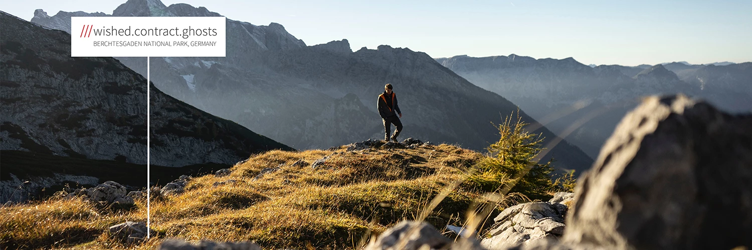


If you take one safety app with you, make it What3Words.

This ingenious tool divides the world into tiny 3-metre squares and gives each one a unique three-word address. If you ever get lost, injured or stuck in a remote spot, you can use the app to share your location with emergency services - down to the exact metre. Fast, simple, potentially lifesaving.


The Golden Rule: Always download offline maps.
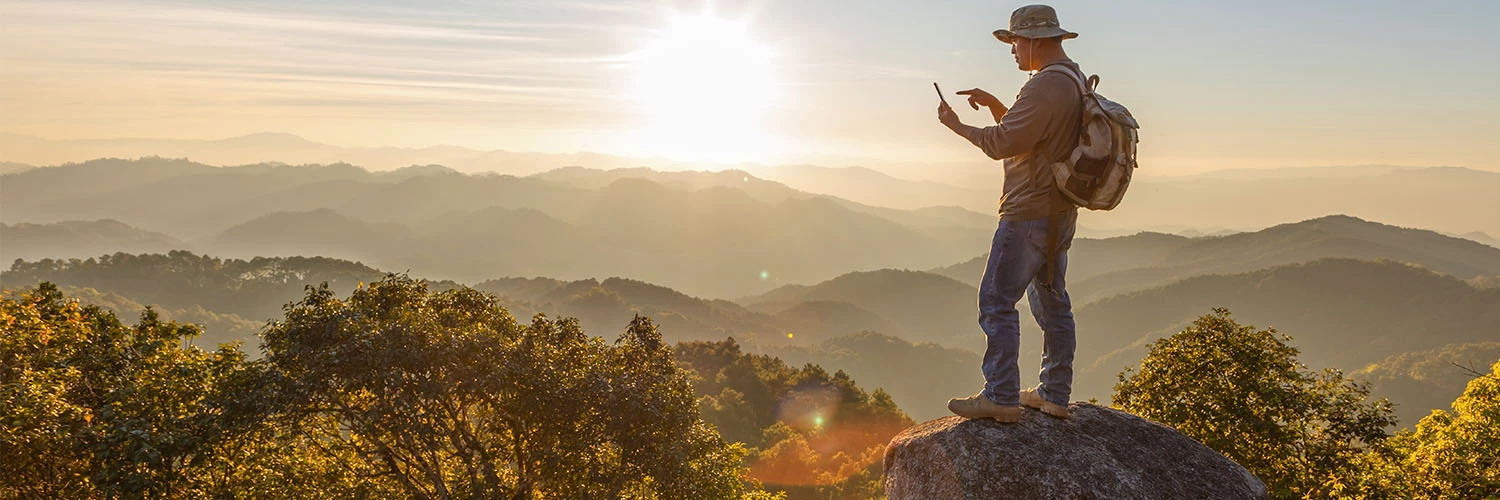


You can’t rely on mobile signal in the hills, valleys and remote paths of the UK. That’s why downloading your maps before you go is absolutely essential. That way, you’ll always have some means of finding your way if your mobile signal gives up on you.

Apps like OS Maps, AllTrails, and Komoot let you save your route directly to your device. Offline access not only gives you peace of mind, but it's also a smart move for your mobile plan. It saves your data and extends your battery life by avoiding the constant search for a signal.


Track your trek with a smartwatch.
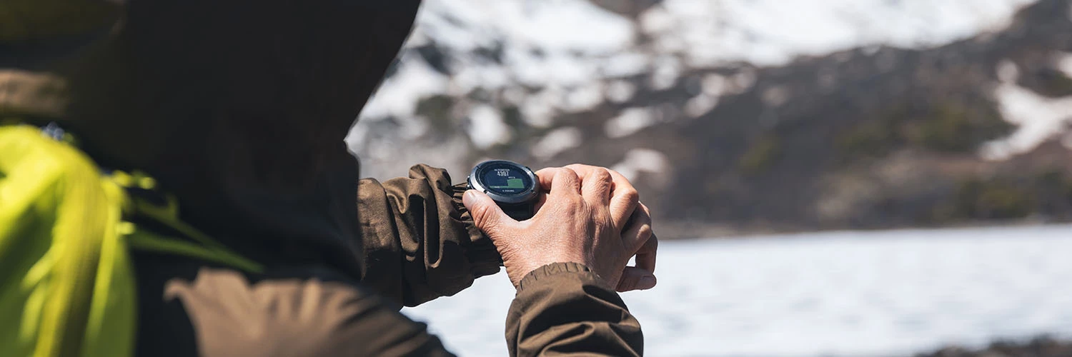


Want to know how far you've walked, how high you've climbed or even how many calories you’ve burned? Pairing your phone with a fitness tracker can turn an everyday walk into a full-on wellness activity.

Wearables like the Apple Watch, Samsung Galaxy Watch or Fitbit sync with hiking apps and give you real-time updates on distance, elevation gain, heart rate and steps.

Looking for a great deal on wearables? Check out the latest smartwatches at Currys.


Giveaway time!


With a few key apps - like OS Maps for navigation, What3Words for safety and the golden rule of downloading offline maps - your phone becomes the only gadget you’ll need for a successful day out on the trail.

So go on: download the apps, choose your route and set off on your next adventure. Happy trails! 

To enter our Garmin Venu 3s giveaway, let us know in the comments below: What's your favourite hike or walk? We'd love to see your adventures, so feel free to share your photos!

The competition closes on Monday, 18th August 2025 at 23:59. The winner will be picked at random, so keep an eye on your inbox or DMs for a message from us.

Happy trails!

    This topic has been closed for replies.

    505 replies

    New Contributor
    August 9, 2025

    St Catherine's Hill and St Cross Hospital loop. Is not too long, flat and beautiful suroundings. St Cross Hospital cafe is a good pitstop as well as the cafe at the bottom of St Cath's.

    New Contributor
    August 9, 2025

    Scarborough beach from Sea life centre to Spa.

    New Contributor
    August 9, 2025

    The Yorkshire 3 peaks was the first long hike I did and I have returned multiple times since and always love it! 

    David Baron
    New Contributor
    New Contributor
    August 9, 2025

    This is a recent walk I did in Poolewe west coast of Scotland. From the centre of Poolewe I walked along a path passing fly fishers on the banks of the River Ewe, continuing along to the tip of Loch Maree

    now passing through woods toward the old buildings at Inveran cutting left at the spare in the road and climbing now and onwards to the clearance to now look down on to the shimmering waters of Lock Matee

    now still climbing and passing the woods that reflect in the waters of Loch Na Airde Bige. Again still climbing and with Loch Na Airde Bige behind me I cross the river Kernsary and turning left, I now follow the path along the shore of Loch Kernsary which is now on my left I continue to the path to the far end

    now I walk again yet through more woods and at the peak I now look down onto Loch Ewe

    i now descend and I pass Poolewe burial ground 

    I ventured through the metal kissing gate into its confines I now notice many of the markers are for sailors from WW1

    i found this site both very moving and peaceful 

    The walk finishes on the shore of Loch Ewe

    id recommended this walk to anyone and at just 20 miles it’s a good stretch of the legs

    Active Contributor
    August 10, 2025

    Thames path takes in lots from Dover to Oxford. Cycling for those who have walking difficulty and lots of interesting places to stop en route

    New Contributor
    August 10, 2025

    Living in Finsbury Park I’m very lucky to be near the Parkland Walk, a 4km nature reserve that once was a railway route from Finsbury Park to Ally Pally.  Along the route you walk between two platforms of an abandoned railway station and there’s a Green Man to look out for under the arches.  I’ll admit it took me a few times to find him at first!  The route is lovely to walk, jog or cycle in all seasons, the trees protect you from the elements and you really feel that you’re outside of London.

    I’ve travelled along the Parkland Walk many times and if I want to increase the distance of my route there is easy access to Queens Wood and Highgate Wood.  You can even go all the way to Alexander Palace just like the trains! used to do,


    New Contributor
    August 10, 2025

    Best walk ever is along the C'an Picafort promenade in Majorca during the summer at 6:30a.m. as the sunrises are unspeakably gorgeous. 

    Active Contributor
    August 10, 2025

    My favourite hike is the section of the South West Coast Path from Lynton to Ilfracombe. At 20 miles taking about 6 hours, it’s not for the faint hearted with 4000 feet of elevation but it is well worth it for the stunning scenery, views, mountain goats! and sense of achievement with a well earned ice cream and drink at the end. 


    New Contributor
    August 10, 2025

    The whole of the South West Coast Path (630 miles). The variation is incredible. From miles of flat, to the miles of ups and downs. The best part when you walk the whole thing, is the great feeling of satisfaction when you looking back, on a clear day to see a headland miles away and saying, last week/month/year we were over there.

    New Contributor
    August 10, 2025

    My favourite hike is the section of the South West Coast Path from Lynton to Ilfracombe. At 20 miles taking about 6 hours, it’s not for the faint hearted with 4000 feet of elevation but it is well worth it for the stunning scenery, views, mountain goats! and sense of achievement with a well earned ice cream and drink at the end. 


    The Bristol Channel looks very blue for a change. :-)