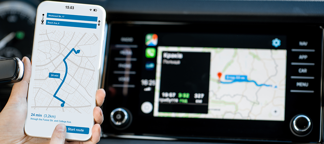
What's the difference between Google Maps and Sat Nav?
Going on a road trip and planning to use your phone to navigate? We’ll show you the pros and cons of Google Maps compared to sat navs…
Most smartphones come with a 'sat nav' (satellite navigation) built in. For Android there's 'Google Maps', while iPhone has Apple Maps. We're going to look at how these navigation systems compare to a sat nav, to see if there's any reason you might want to use one instead of the other.
A few years ago, Google added 'full offline navigation' to Maps, meaning you can download routes and maps that you use quite often, so you don't have to use your data when you’re on the move. They expire after 15 days, which means you'll always have the latest version.
Needing directions quickly
Most of the time, you won’t leave home without your phone. Your sat nav, however, could easily be forgotten and left behind. That means if you’re out on the road and need to find a quicker route to skip the traffic, you could be a bit stuck. With your phone, you can just tap on Maps and find where you want to go.
There’s also a built-in search option on your phone. This lets you type in business names, and will show you the results on a map so you can choose the best outlet for you – like a fast-food chain or supermarket. It’s much easier than having to find the specific address to then manually enter into the sat nav.
Another advantage of Google Maps is that because it’s connected to the internet, it should be mostly up to date. Roadworks and traffic will usually be picked up and highlighted on your route. If there’s a quicker way, Google will suggest it too. All this means you’ve got the convenience of a sat nav, without having to carry another device and charger.
Going the wrong way
Something else that Google Maps can do is send anonymous info about speed and location to build up a ‘live traffic map’. This helps give more accurate predictions for traffic and journey time. It doesn’t just apply to driving, either. You can also use it when you’re cycling or walking, so long as you choose that option on Maps.
If you choose the ‘public transport’ option, Google will let you know where and what time you need to be there, and any connections you need to take. You can also enter your home and work address via Google Assistant, and it’ll let you know the best route to take and time to leave each day.
Wrong turns and low signal
There’s still a few areas that could do with improvement on Google Maps. The GPS, for example, can be a little patchy in low signal areas. When this happens, Google Maps can tell you that you’re in a slightly different place, making it confusing if you don’t know the area well. If you know that where you’re going is a low signal area, it’s probably best to download the route beforehand. Sat navs, however, seem to keep full signal in these areas.
Another issue is battery life. Using Google Maps with data and location turned on can drain your battery faster than normal. It’s fine for short journeys or if you have a charger handy, but without one, you may find your battery runs out before you make it to your destination.
Also, a lot of the features on Google Maps require an internet connection. Things like traffic updates, bike routes and public transport directions all need you to be online.
So, which is best?
We think that having a sat nav in the car is handy for times when your phone battery is low or you can’t get a signal. Overall though, Google Maps works just as well as a sat nav and has the added bonus of automatic updates. So, you don’t need to buy the latest map packs to keep things up to date.
There’s still a place for the sat nav, but mobile apps are getting better all the time, so it might not be long before they overtake their dashboard counterparts.
What do you use to get from A to B? Is there an app out there that you think does the job better, or are you sticking with your trusty sat nav? Let us know below!


 I prefer the app as its more accurate with time and also finds the best route for me.


